Best Hiking Near Salt Lake City


We gave our Gear Lovers one job:
Find the best and most popular products and review them.
Our review team always considers durability, price, quality, and value in their reviews.
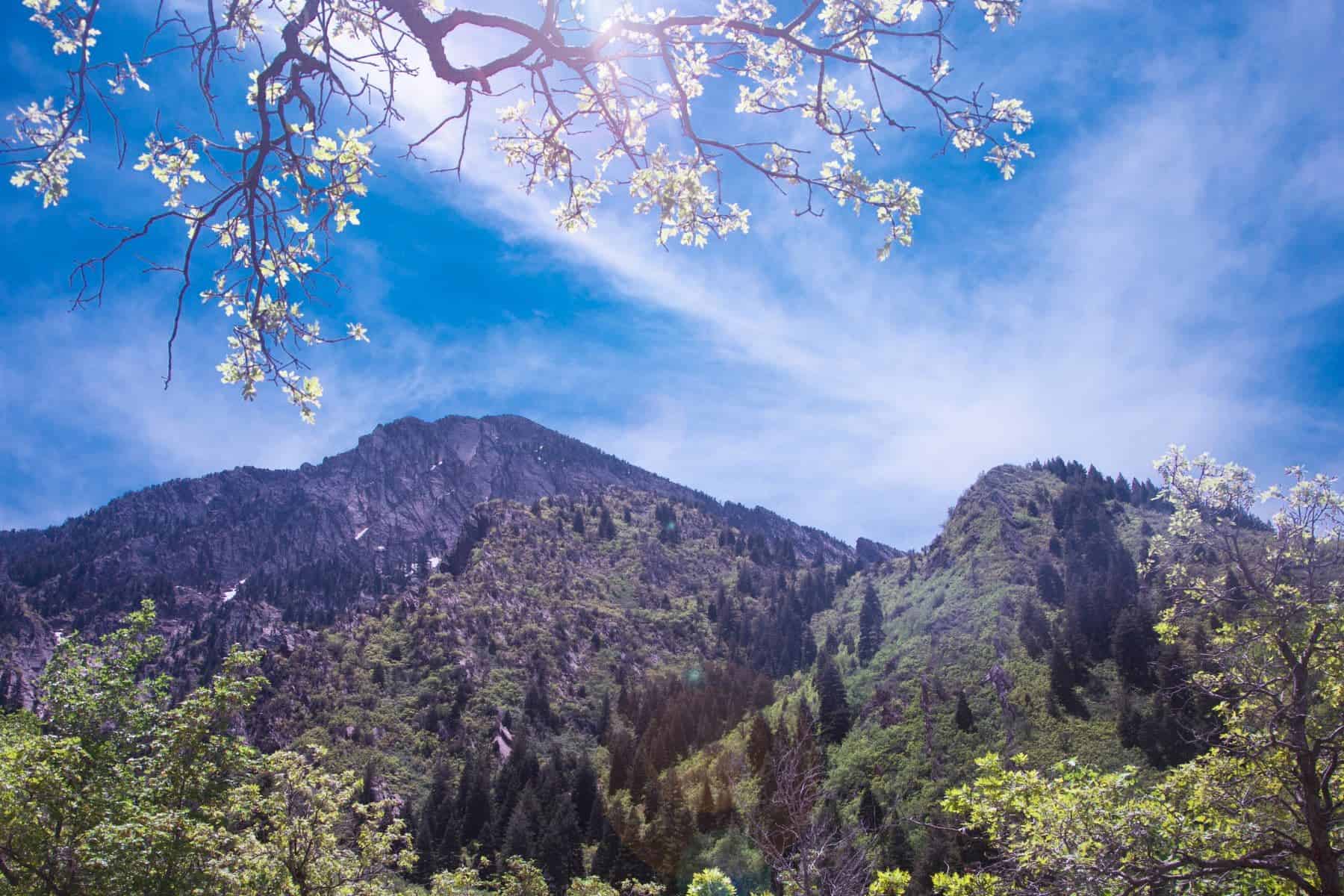
With spring blooming, many of us are itching to get outside and hit the trails. If you’re among those who are putting away the skis and lacing up your hiking boots, we’ve compiled a go-to list of accessible hiking near Salt Lake City.
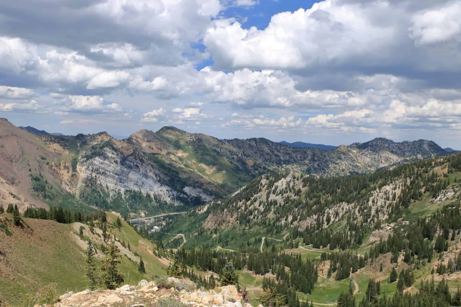
The great thing about Salt Lake City and the Wasatch region is the easy access to the wilderness. Whether you’re looking for a quick lunch-hour walk, something to fit in while your kid is at soccer practice, or a day hike with friends over the weekend, there are a myriad of options to match any skill level.
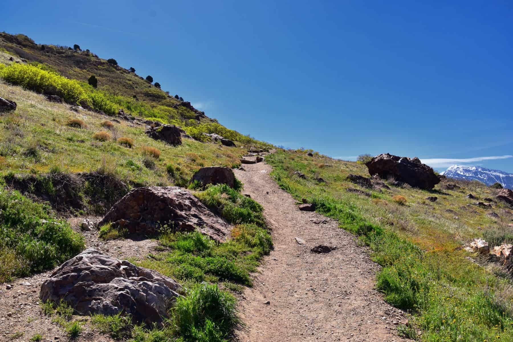
Choose from family- or dog-friendly, steep or meandering, lakes or canyons. Best part? Those choices are not mutually exclusive. As you’ll see from some of the options below, a lot of these trails mix and match their appeal (we particularly love a good canyon and lake mashup: see Lake Blanche).
Keep reading at the end for a quick primer on the best hiking seasons around Salt Lake City and what essentials should always be in your backpack when you head out.
Hikes In and Around Salt Lake City
Hike: Neff’s Canyon Trailhead
Difficulty: Moderate-Challenging (depends on how far up you go)
Length: 7 miles roundtrip – Out and Back
Why We Like It: Neff’s Canyon is decidedly dog-friendly, so it’s a fun one to challenge your legs and those of your pooch. You’ll start on a service road but quickly gain altitude until reaching a gorgeous wildflower meadow up top.
How to Get There: Easily accessible from the East Bench neighborhood. Drive, or take the public UTA bus.
Hike: Mount Olympus
Difficulty: Challenging
Length: 7.8 miles roundtrip – Out and Back
Why We Like It: Another dog-friendly option, 4,000-ft-tall Mt. Olympus is a must for those seeking a thigh-burning fitness hike. Even if you’re not feeling the summit of this dominating peak, take the time to explore the lower elevations of the trail, from which you’ll still have nice views of the city.
Rock climbers and mountain goats frequent the north side’s cliffs and slabs of broken quartzite. Even everyday hikers can get their bouldering in at the top of the trail, with several hundred feet of third-class scrambling on the final approach to the summit.
How to Get There: Drive or take the public UTA bus to the trailhead, which is east of I-215 on Wasatch Boulevard.
Hike: Bell’s Canyon
Difficulty: Challenging
Length: 10 miles roundtrip – Out and Back
Why We Like It: Another easy-access hike close to downtown Salt Lake City, this one gives you a couple of options depending on how much time and energy you have. Hike 2 miles to a cool waterfall (be careful along the mossy edge) and stop for a picnic. Then, either head back out to the trailhead or continue 3 more miles to the upper reservoir that sits in the shadow of Lone Peak.
How to Get There: The trailhead is in Sandy, just a few miles southeast of Salt Lake City. Access it via car or public bus.
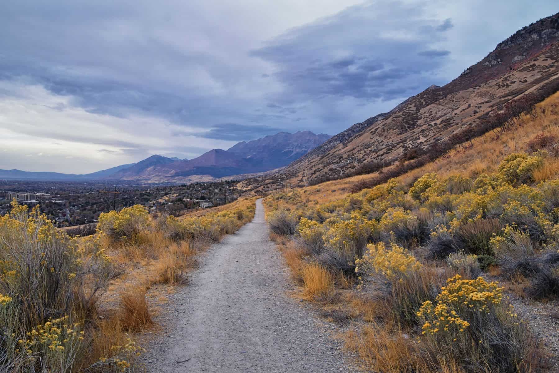
Hike: Bonneville Shoreline Trail
Difficulty: Easy
Length: Up to you (100 miles total) – Out and Back or Point to Point
Why We Like It: Hop on and off the Bonneville Shoreline Trail from numerous trailheads around the Salt Lake valley. We like to join it across the street from the Hogle Zoo and head north to Dry Creek Canyon.
History lesson: Lake Bonneville used to fill the whole valley, and more. That ancient shoreline carved an indentation in today’s foothills, and this hundred-mile trail follows that hillside.
How to Get There: The easiest trailhead is across from the Hogle Zoo and Rotary Glen Park in the East Bench neighborhood. Access it via car or public bus.
Hike: Grandeur Peak
Difficulty: Moderate-Challenging
Length: 5-6 miles roundtrip – Out and Back
Why We Like It: If you’re looking for a solid hike with a couple of different options, check out Grandeur. Steel yourself if you start from the northern end of Wasatch Boulevard – definitely the harder route – or give yourself a bit of a break by starting at Church Fork in Millcreek Canyon.
This latter route is longer, but less steep. Regardless of which path you choose, you’ll ultimately top out at the summit, which towers over the valley between Parley’s Canyon and Millcreek Canyon.
How to Get There: You’ll need a car to access either trailhead.
Hikes That Aim Higher (Literally)
These hikes take you farther from Salt Lake City, but to loftier heights.
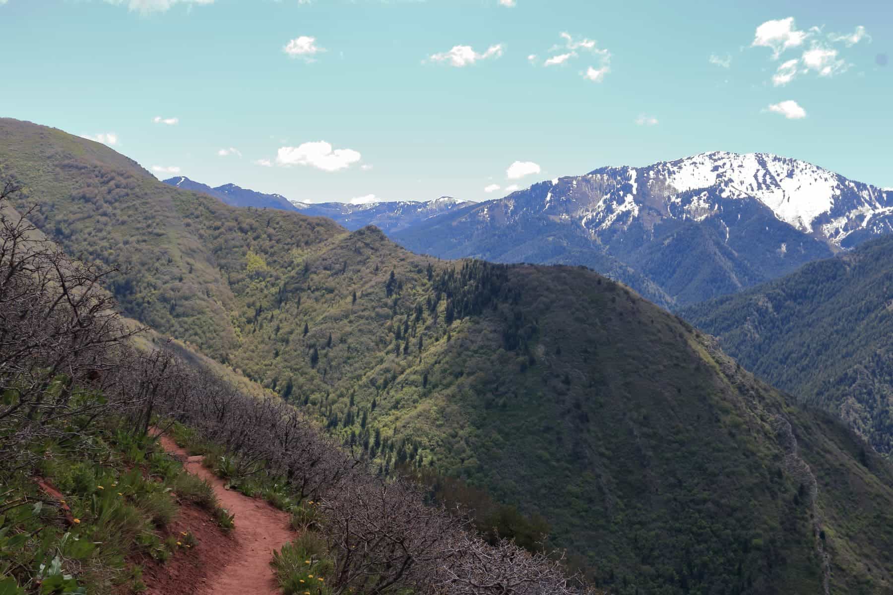
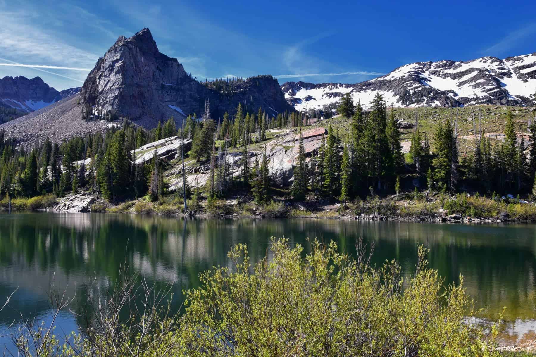
Hike: Lake Blanche
Difficulty: Moderate
Length: 6 miles roundtrip – Out and Back
Why We Like It: This hike gets you out of the city, up into the canyons above Mounthaven in the Twin Peaks Wildnerness. Halfway up Big Cottonwood Canyon, the lake is surrounded by craggy peaks, making for a picturesque rest stop. Be ready for a solid 3-mile climb on the way up, but we promise, the views are worth it.
How to Get There: The trailhead is near Mounthaven off UT-190 E, about 40 minute east of Salt Lake City. You’ll need a car to access it.
Hike: Grizzly Gulch
Difficulty: Easy-Moderate
Length: 4 miles roundtrip – Loop
Why We Like It: It’s easy to feel worlds away – and cooler, particularly refreshing in the summer months – when you hike Grizzly Gulch. It’s a relatively short way to escape the humdrum of everyday life. The trail heads up and into the pass between Little Cottonwood and Big Cottonwood canyons.
How to Get There: The trailhead is near the end of paved Cottonwood Cayon Road in Spring City, about two hours south of Salt Lake City. You’ll need a car to access it.
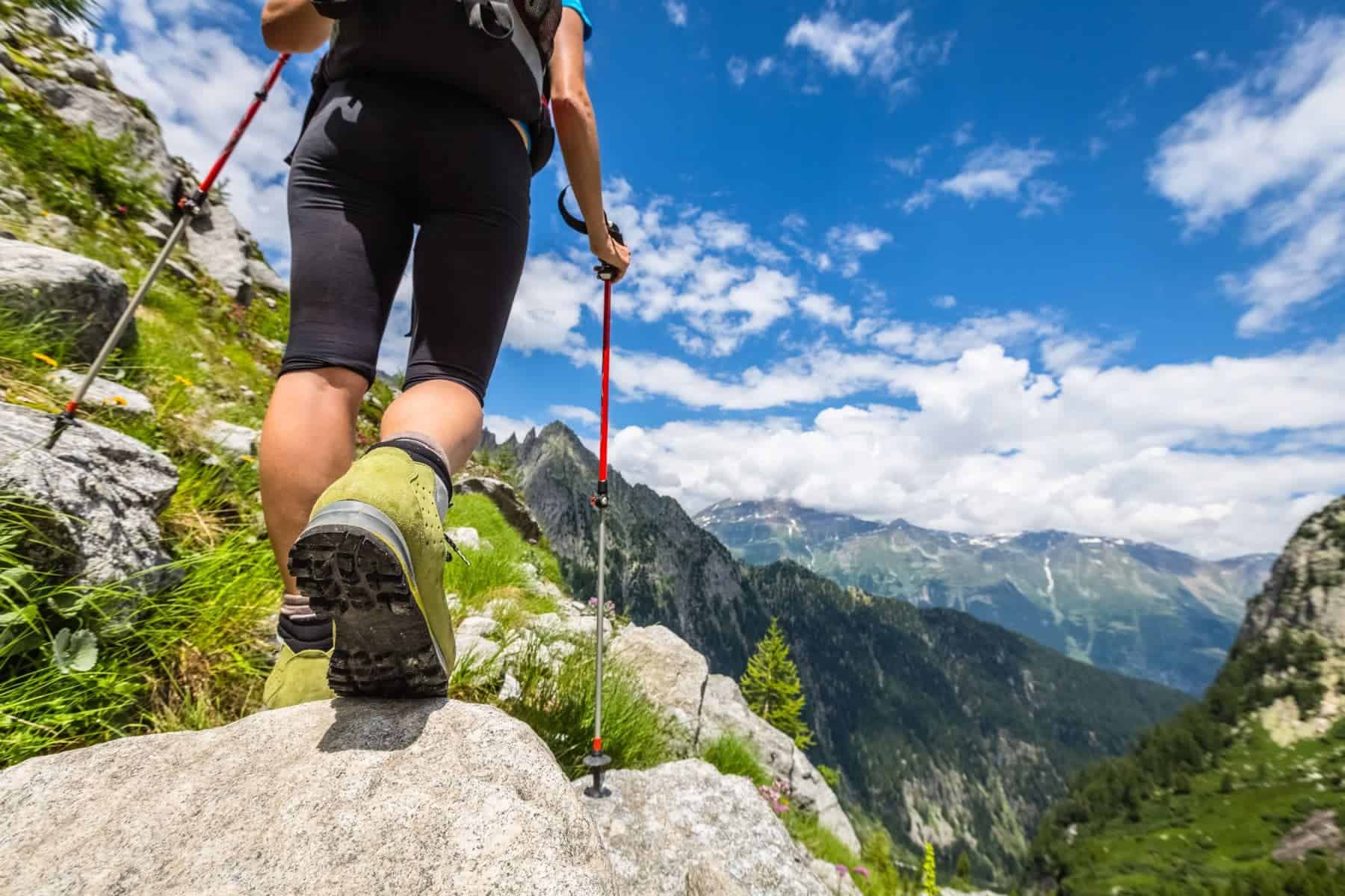
Hiking Know-How for Salt Lake City & Environs
Hit the hiking trail in Salt Lake City during spring or fall for the most enjoyable trekking experience and less risk of extreme weather (wind, rain, snow).
Spring, though it can be rainy, gives you that burst of fresh air you’ve been waiting for all winter, while autumn offers the splendor of fall foliage. More advanced hikers can consider the wintertime if equipped with appropriate gear, including microspikes, outerwear, and, in some cases, basic avalanche equipment.
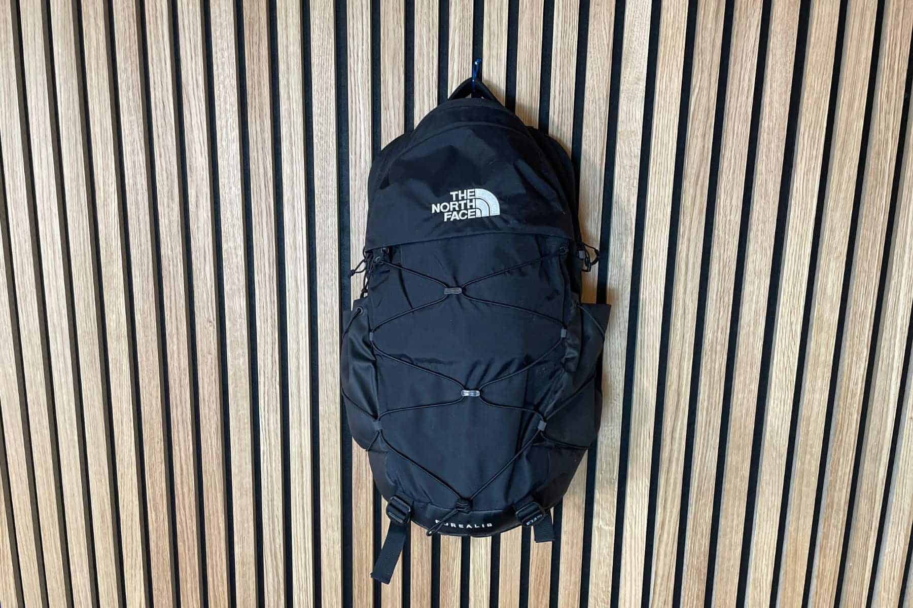
Be sure to pack:
Always start with the Essentials of Hiking. Of particular importance is:
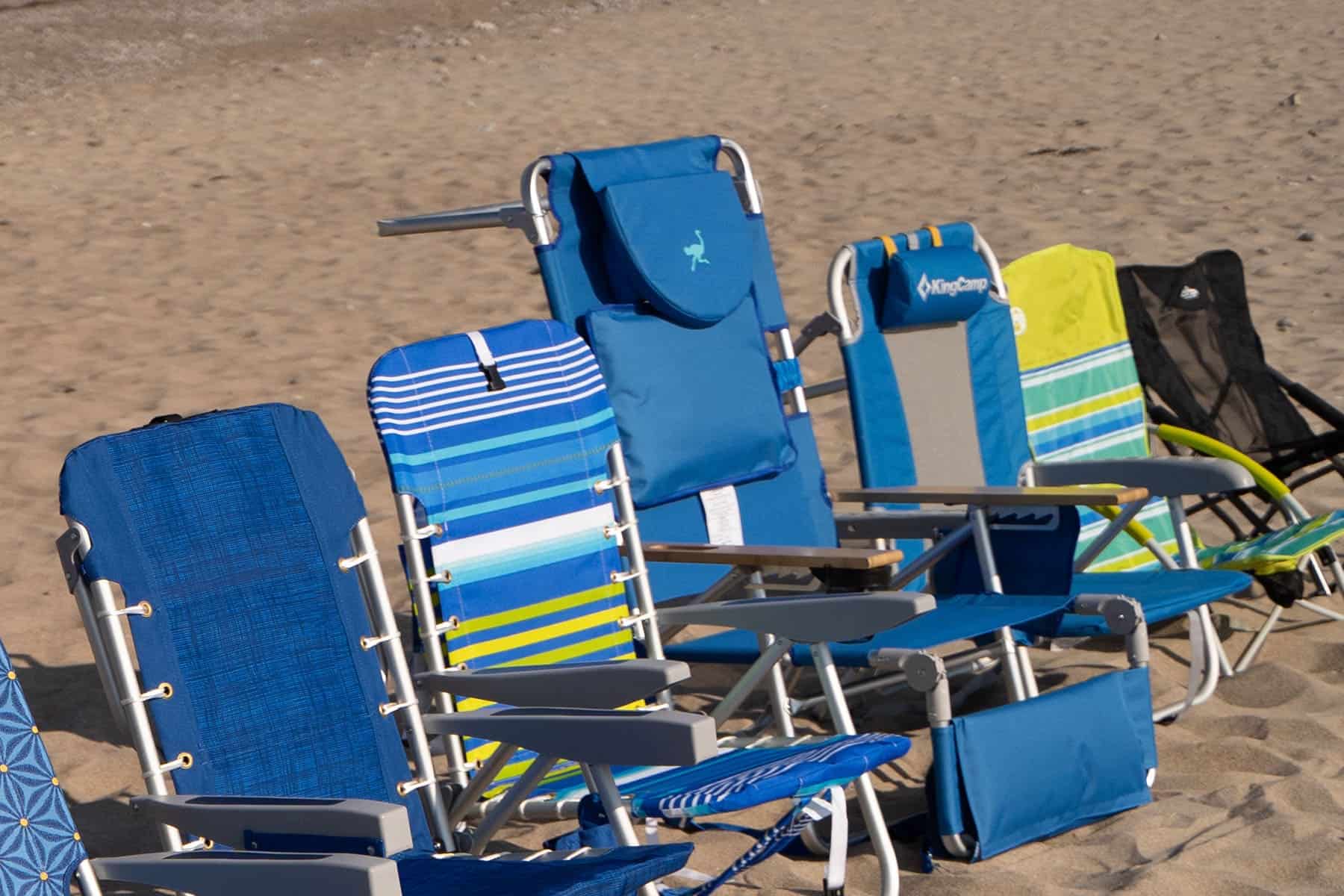
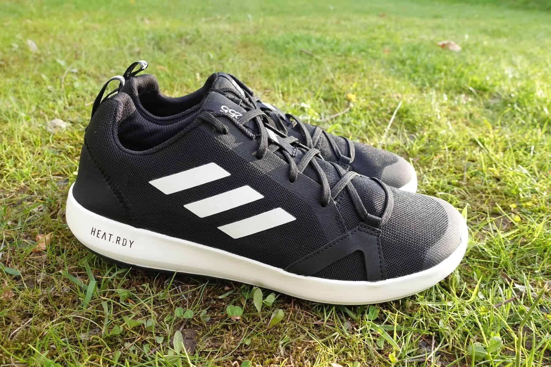
- Supportive hiking boot/shoes
- Sunscreen (any time of year!)
- Refillable water bottle or water bladder
- Snacks
- Appropriate outwear for the season (this might mean an SPF-rated shirt in the summer and a down jacket in the fall)
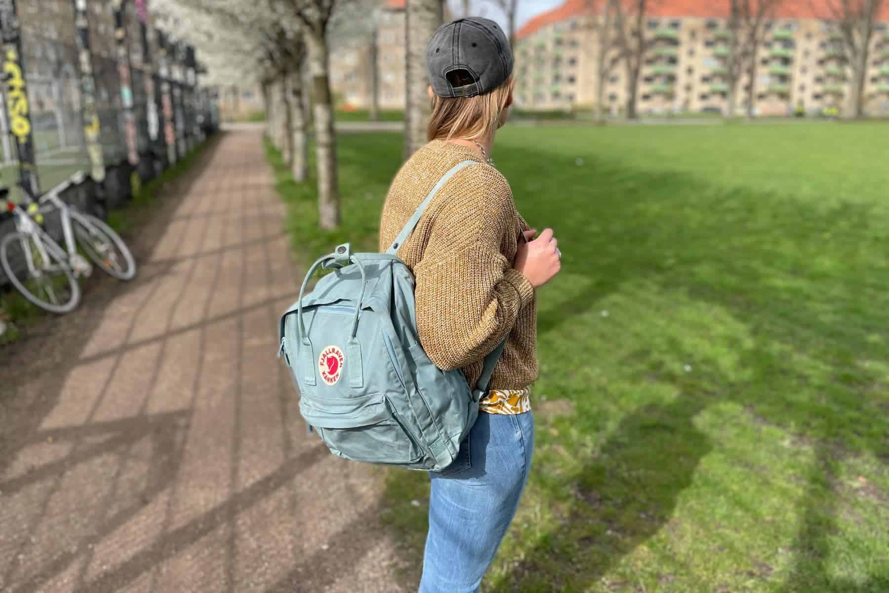
- GPS device and/or map
- And a phone or camera to take photos of all those amazing views!
Happy Hiking!


Comments